Years Exp.
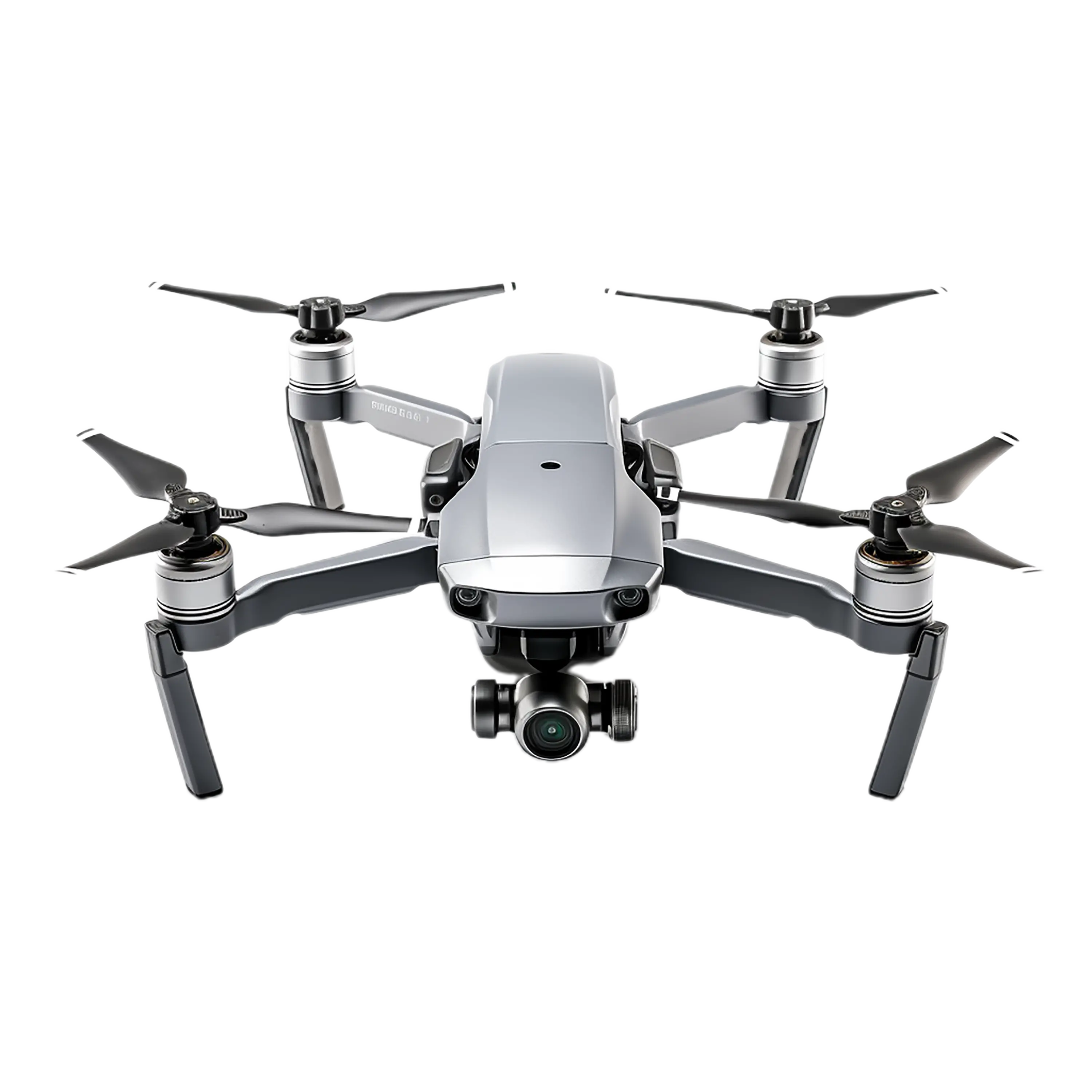
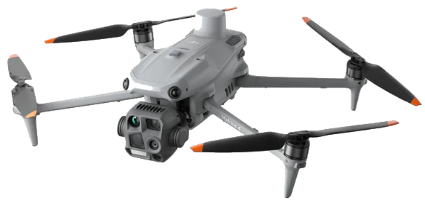
We provide expert inspection services for your organization’s mission-critical assets using advanced drone technology. Our team creates stunning aerial visual content with precision and safety.

High-precision pit mapping, stockpile volume calculations, and lease boundary monitoring using photogrammetry.
Enquiry
Land mapping solutions delivering accuracy for engineering, cadastral verification, and infrastructure planning using RTK/PPK technology.
Enquiry
Multispectral imaging for crop health assessment, irrigation planning, and yield estimation.
Enquiry
Detailed vegetation analysis, canopy height modeling, and deforestation monitoring for environmental compliance.
Enquiry
Linear infrastructure mapping for right-of-way (ROW) acquisition, construction progress, and maintenance.
Enquiry
Automated visual and thermal inspection of transmission towers and solar farms to detect faults and hotspots.
Enquiry
Hydrographic estimation, reservoir capacity planning, and watershed management surveys.
Enquiry
Topographic surveys for land development, smart city planning, and construction site progress monitoring.
EnquiryWe are constantly looking for talented drone pilots, data engineers, and creative visionaries. If you have the passion to innovate, we want to hear from you.
Send Your CVCurrently accepting applications via email only.